'%3e%3cpath%20d='M48.8611%2033.7489V28.6591C47.4125%2030.3035%2045.7681%2031.6347%2043.8888%2032.6135C42.0096%2033.5923%2040.0128%2034.1012%2037.9378%2034.1012C35.6278%2034.0621%2033.4353%2033.6706%2031.4386%2032.8092C29.4027%2031.9479%2027.6017%2030.7733%2026.0357%2029.2073C24.4696%2027.6803%2023.2559%2025.8794%2022.3945%2023.8043C21.5332%2021.7293%2021.1025%2019.5368%2021.1025%2017.266C21.1025%2014.9952%2021.5332%2012.8027%2022.3945%2010.7277C23.2559%208.65261%2024.4696%206.85163%2026.0357%205.28557C27.6017%203.7195%2029.4027%202.50579%2031.4386%201.68361C33.4353%200.82227%2035.6278%200.391602%2037.9378%200.391602C40.0911%200.391602%2042.0879%200.82227%2044.0063%201.72276C45.8856%202.62325%2047.53%203.8761%2048.8611%205.48132V1.05718H54.8905V33.7489H48.8611ZM33.7094%207.204C32.3391%207.75212%2031.1645%208.53516%2030.1857%209.51395C29.2069%2010.4927%2028.4239%2011.6673%2027.8758%2013.0376C27.3277%2014.4079%2027.0536%2015.8174%2027.0536%2017.3051C27.0536%2018.7929%2027.3277%2020.2024%2027.8758%2021.5335C28.4239%2022.8647%2029.2069%2024.0392%2030.1857%2025.018C31.1645%2025.9968%2032.3391%2026.7799%2033.7094%2027.328C35.0797%2027.8761%2036.4892%2028.1502%2037.9769%2028.1502C39.4647%2028.1502%2040.8742%2027.8761%2042.2053%2027.328C43.5365%2026.7799%2044.711%2025.9968%2045.6898%2025.018C46.6686%2024.0392%2047.4516%2022.8647%2047.9998%2021.5335C48.5479%2020.2024%2048.822%2018.7929%2048.822%2017.3051C48.822%2015.8174%2048.5479%2014.4079%2047.9998%2013.0376C47.4516%2011.6673%2046.6686%2010.4927%2045.6898%209.51395C44.711%208.53516%2043.5365%207.75212%2042.2053%207.204C40.8742%206.65588%2039.4647%206.38181%2037.9769%206.38181C36.4892%206.34266%2035.0406%206.65588%2033.7094%207.204Z'%20fill='white'/%3e%3cpath%20d='M6.8907%201.1354C8.49592%200.391517%2010.2186%200%2012.0587%200V5.95106C10.2577%205.95106%208.80914%206.57749%207.63458%207.83034C6.38173%209.1615%205.7553%2010.7276%205.7553%2012.4502V33.7488H0V12.4502C0%2010.062%200.626427%207.83034%201.84013%205.83361C3.05383%203.79772%204.73736%202.2708%206.8907%201.1354Z'%20fill='white'/%3e%3cpath%20d='M20.3196%203.36705C18.9884%204.93312%2017.9313%206.65579%2017.07%208.53507C16.9134%208.30016%2016.6785%208.06525%2016.4827%207.83034C15.3082%206.57749%2013.8596%205.95106%2012.0586%205.95106V0C13.8987%200%2015.6214%200.391517%2017.2266%201.1354C18.362%201.76183%2019.4191%202.50571%2020.3196%203.36705Z'%20fill='white'/%3e%3cpath%20d='M127.713%2013.6639V33.7487H121.84V13.6639C121.84%2011.6672%20121.096%209.90534%20119.648%208.45672C118.238%207.04726%20116.476%206.30338%20114.44%206.30338C112.405%206.30338%20110.643%207.00811%20109.233%208.45672C107.745%209.94449%20107.041%2011.6672%20107.041%2013.6639V33.7487H101.168V13.6639C101.168%2011.8238%20101.52%2010.1011%20102.225%208.45672C102.93%206.81235%20103.869%205.40289%20105.083%204.18919C106.336%202.93633%20107.785%201.95754%20109.39%201.29196C111.034%200.587229%20112.718%200.234863%20114.519%200.234863C116.32%200.234863%20118.003%200.587229%20119.648%201.29196C121.292%201.99669%20122.701%202.97548%20123.954%204.18919C125.168%205.40289%20126.108%206.81235%20126.812%208.45672C127.36%2010.1011%20127.713%2011.8238%20127.713%2013.6639Z'%20fill='white'/%3e%3cpath%20d='M66.7536%2033.7486H59.5889L79.3996%200.273926H86.5252L66.7536%2033.7486Z'%20fill='%2376BC21'/%3e%3cpath%20d='M72.6262%2047.9999H65.4614L93.6898%200.273926H100.855L72.6262%2047.9999Z'%20fill='%2376BC21'/%3e%3c/g%3e%3cdefs%3e%3cclipPath%20id='clip0_866_4589'%3e%3crect%20width='127.713'%20height='48'%20fill='white'/%3e%3c/clipPath%3e%3c/defs%3e%3c/svg%3e)
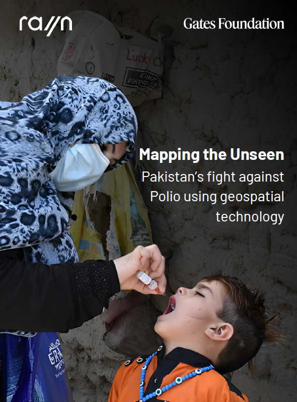
Mapping the Unseen: Pakistan's Fight Against Polio Using Geospatial Technology
Published in collaboration with the Bill & Melinda Gates Foundation
The Core Challenge
Despite decades of determinations, Pakistan's polio program faced persistent micro-visibility blind spots. Mobile populations, uncharted settlements, and unplanned urban sprawl created immunity gaps that allowed the poliovirus to survive across high-risk districts. Traditional microplans failed to flag hidden communities, resulting in persistent zero-dose pockets.
The Geospatial Solution
To translate ground realities into visibility, the Geographic Coverage Support System (GCSS) was adapted from global tracking frameworks and tailored for Pakistan's complex topographies. Utilizing locked, purpose-built smart devices running custom, in-house algorithms, the platform converts raw GPS traces from field teams into decision-ready dashboard analytics. It actively monitors distance covered, tracks team check-ins at Team Support Centers (TSCs), and filters out boundary edge cases to reveal unreached sectors in near real-time.
Systemic Field Impact
- Scaled comprehensively across 42 districts and over 1,600 Union Councils, training and tracking more than 69,000 frontline workers across 22 consecutive vaccination campaigns.
- Reached over 18.9 million children nationwide and successfully identified more than 15,800 unvaccinated or completely unmapped geographic zones.
- Uncovered 61 large, entirely unclaimed territories and identified 985 boundary mismatches, enabling administrative revenue and health offices to update official microplans.
- Earned formal global commendations and control room endorsements from the Gates Foundation, the US Centers for Disease Control and Prevention (CDC), and Rotary International.